Riley Keller · 10 September 2026
Decoding Mountain Weather Data Through Specialized Viewing Apparatus for Avalanche Forecasting
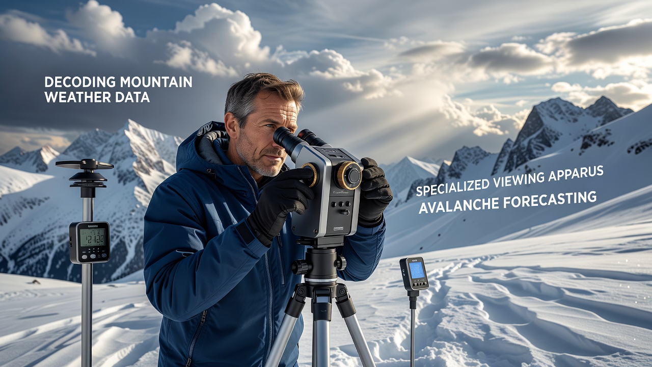
Specialized viewing apparatus plays a central role in interpreting mountain weather data for avalanche forecasting because these tools allow observers to examine temperature gradients, wind patterns, and precipitation layers in real time while stationed in remote high-altitude locations, and researchers have documented how such equipment integrates sensor feeds from automatic weather stations with visual field references to produce layered forecasts that account for both current conditions and historical trends.
Mountain Weather Data Collection Methods
Automatic weather stations positioned along ridgelines and in cirques record continuous measurements of air temperature, relative humidity, wind speed and direction, plus snow depth and new snowfall amounts, while these stations transmit data via satellite or radio links to central databases that forecasters access through portable viewing devices designed for harsh environments, and data from networks operated by agencies such as the National Oceanic and Atmospheric Administration feed into regional models that predict slab formation and weak layer development across entire mountain ranges.
Observers combine station readings with manual snowpack tests conducted at multiple elevations, and the specialized apparatus often includes stereoscopic displays or heads-up overlays that align numerical values directly over physical terrain features visible through the viewer, which reduces interpretation errors during rapid field assessments when visibility changes quickly due to approaching storms or blowing snow.
Specialized Viewing Apparatus Capabilities
Modern apparatus incorporates ruggedized screens, augmented reality markers, and multi-spectral filters that highlight moisture content variations in snow surfaces, and these features enable forecasters to correlate surface hoar formation or wind slab distribution with incoming weather fronts tracked by radar and satellite imagery, while built-in calibration tools maintain accuracy despite extreme cold and altitude effects on sensor performance.
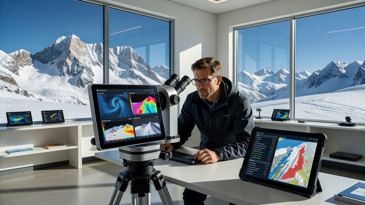
Technicians report that the apparatus supports simultaneous viewing of multiple data streams, including point measurements from nearby stations and interpolated grid values from numerical weather prediction models, and this integration helps identify localized wind loading zones that standard maps alone cannot resolve at the slope scale required for precise hazard maps.
Application in Avalanche Forecasting Protocols
Forecasting centers apply decoded data to classify avalanche danger levels according to standardized scales used across North America and Europe, and the viewing apparatus allows rapid comparison between current observations and baseline climatology for the same date range, which improves detection of anomalous conditions such as unseasonal warming events or prolonged dry spells that alter snowpack stability, while protocols developed by organizations including the Canadian Avalanche Association emphasize cross-verification of apparatus outputs against field tests before issuing public bulletins.
Training programs teach forecasters to interpret visual data representations that highlight shear layer interfaces and temperature inversions, and these skills become especially valuable when communication networks fail and teams must rely on onboard processing within the apparatus to generate short-term forecasts for backcountry operations or highway avalanche control programs.
Developments Scheduled for September 2026
Updates to mountain weather modeling systems are planned for release in September 2026, and these revisions incorporate higher-resolution topographic datasets that enhance the resolution of wind field simulations displayed through specialized viewing equipment, while testing conducted by European research institutes such as the WSL Institute for Snow and Avalanche Research SLF has shown improved alignment between model outputs and observed avalanche activity when finer grid spacing is applied.
Hardware upgrades scheduled alongside the software changes include lighter weight displays with extended battery life and improved low-light performance, allowing extended deployments in remote areas where resupply is limited, and integration with drone-based sensors is also under evaluation to expand coverage beyond fixed station locations.
Conclusion
Decoding mountain weather data through specialized viewing apparatus continues to advance avalanche forecasting accuracy because the technology bridges raw sensor inputs with terrain-specific visual analysis that supports timely decisions for public safety and operational planning, and ongoing refinements scheduled through 2026 are expected to further tighten the connection between meteorological observations and snowpack response predictions across varied mountain environments.