Riley Keller · 8 October 2026
Exploring Citizen Science Contributions to Long-Term Alpine Snowpack Pattern Analysis
Alpine snowpack serves as a critical water reservoir for downstream communities while also influencing avalanche risks and regional climate dynamics, and researchers now integrate contributions from citizen scientists to build datasets spanning multiple decades. These volunteers document snow depth, density, and melt rates through standardized protocols that supplement professional networks, creating denser spatial coverage across mountain ranges in North America, Europe, and Asia. Data collected this way reveals shifts in accumulation patterns tied to temperature variations and precipitation changes over time.
Methods of Data Collection by Volunteers
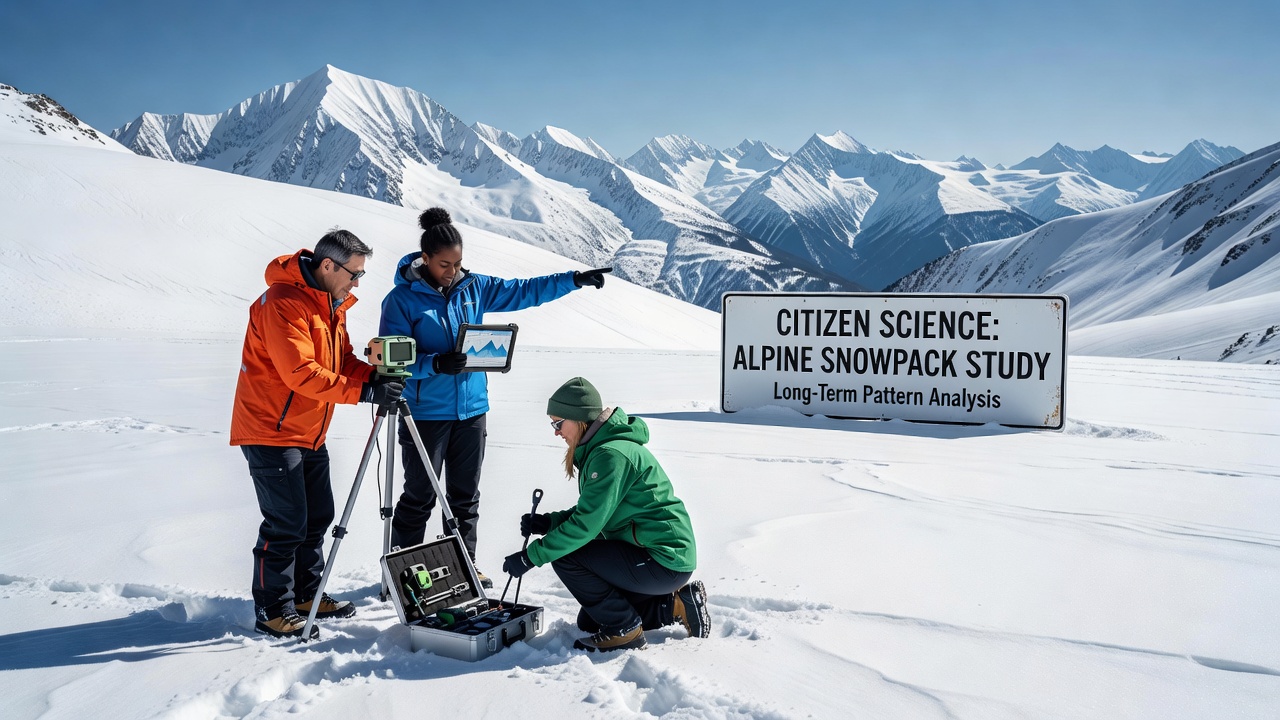
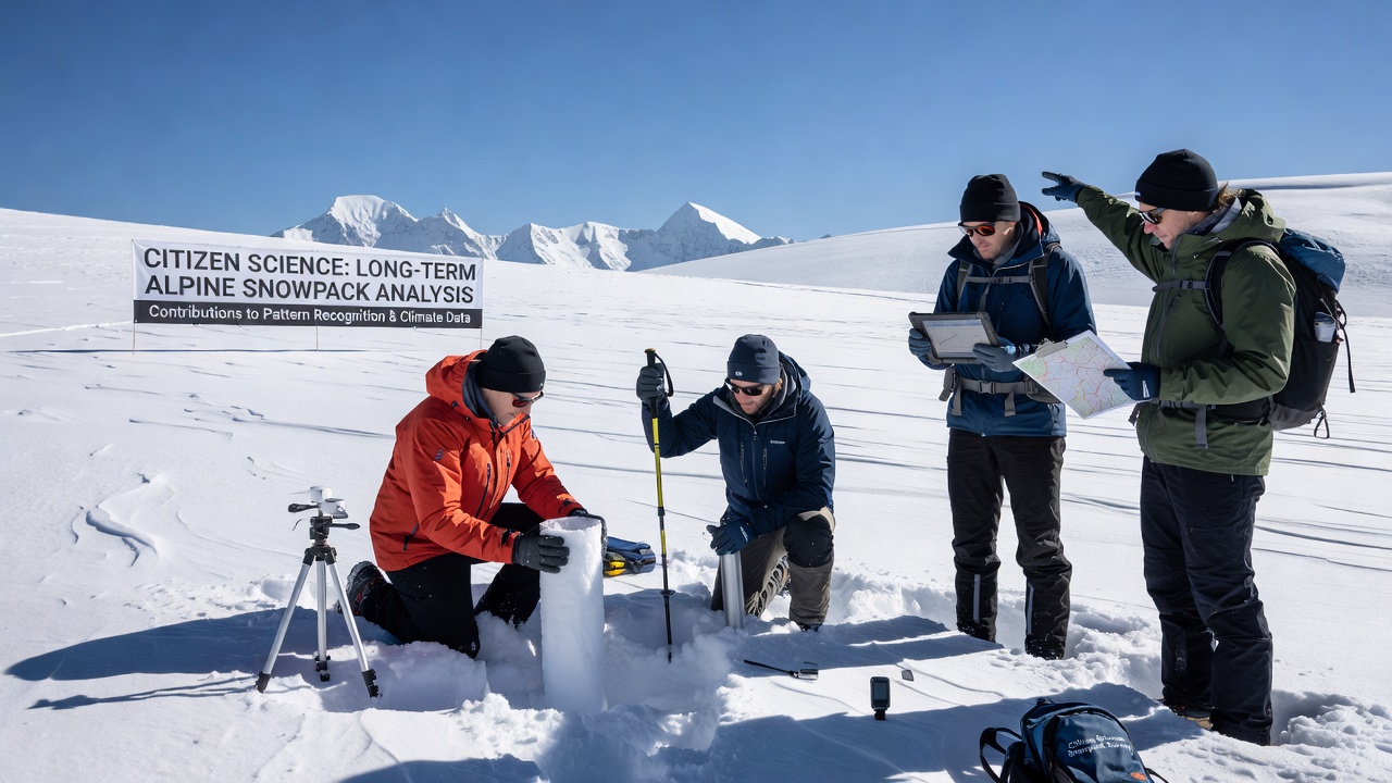
Citizen participants receive training through workshops or online modules before heading into the field with basic tools such as snow probes, scales, and mobile applications that timestamp observations and upload geotagged photographs. Organizations coordinate seasonal campaigns where individuals record measurements at fixed transects, allowing comparisons across years, and many programs incorporate smartphone sensors for temperature and GPS validation to reduce entry errors. This approach expands monitoring beyond the limited reach of automated weather stations, particularly in steep or inaccessible terrain where equipment maintenance proves challenging.
Validation processes compare volunteer submissions against satellite imagery and nearby professional stations, with algorithms flagging outliers for expert review before inclusion in central databases. Studies from institutions in the western United States and the Swiss Alps demonstrate that properly trained groups achieve accuracy rates above 85 percent for depth readings, supporting their use in trend analyses. Researchers cross-reference these records with historical logs dating back to the mid-20th century to identify anomalies such as earlier melt onset or reduced maximum accumulation in specific elevation bands.
Enhancing Long-Term Pattern Detection
Long-term snowpack analysis benefits from the volume of observations citizen scientists provide, which fills gaps in official records and enables finer-resolution modeling of regional variations. Patterns emerge when datasets combine volunteer inputs with remote sensing products, revealing correlations between snow duration and vegetation shifts or streamflow timing that single-source monitoring might miss. For instance, multi-year compilations have documented declining snow water equivalent in the Rocky Mountains and the Pyrenees, informing water management strategies for agriculture and hydropower.
October 2026 marks the scheduled release of an updated global snowpack atlas that incorporates five additional years of citizen-collected observations from over 200 mountain sites, expanding coverage in the Andes and the Hindu Kush. This update integrates machine learning techniques to reconcile discrepancies between manual and automated readings, producing trend maps that highlight accelerated changes at mid-elevations. Analysts note that such expansions improve projections for drought frequency and flood risks in dependent river basins.
Regional Projects and Data Integration
Programs in Canada’s Coast Mountains pair volunteer transects with government hydrological surveys to track changes in seasonal snow cover duration, while similar efforts in Norway’s Jotunheimen range contribute to European Environment Agency reports on cryosphere trends. Academic partners at universities in Australia and New Zealand adapt these protocols for Southern Hemisphere glaciers, creating comparable datasets that support cross-continental comparisons. Integration occurs through open platforms where raw measurements undergo quality checks before merging with lidar surveys and climate reanalysis products.
One notable collaboration involves the U.S. National Snow and Ice Data Center, which hosts citizen-submitted records alongside satellite archives to refine algorithms for estimating basin-wide water resources. European Space Agency datasets complement these efforts by providing broad-scale context, allowing researchers to scale local volunteer findings to entire mountain systems. The combined records help quantify how variations in snowpack influence downstream ecosystems and human water supplies across different latitudes.
Conclusion
Citizen science extends the reach and temporal depth of alpine snowpack monitoring, supplying observations that professional teams alone cannot sustain across vast and rugged landscapes. When combined with established remote sensing and modeling frameworks, these contributions clarify multi-decadal patterns in accumulation, melt, and redistribution that guide resource planning and hazard assessment. Continued expansion of validated volunteer networks promises denser datasets for the years ahead, particularly as new campaigns launch around the October 2026 atlas release.