Theo Powell · 24 September 2026
Portable Radar Applications for Monitoring Snow Depth in Isolated Highland Regions
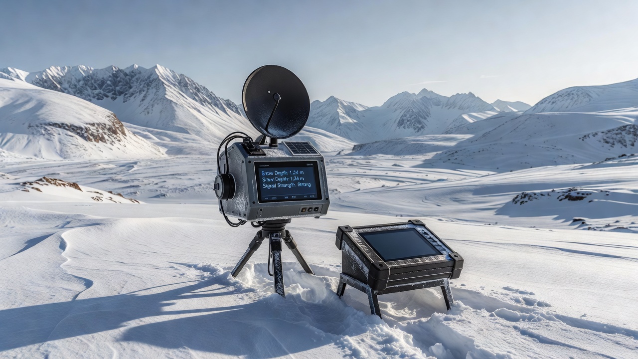
Portable radar systems have emerged as practical tools for measuring snow depth across remote highland terrain where traditional monitoring stations prove difficult to install or maintain, and researchers continue to refine these devices for greater accuracy in variable weather conditions. These units typically rely on ground-penetrating radar principles or frequency-modulated continuous-wave technology that sends electromagnetic pulses into the snowpack and records the time required for reflections to return from the ground surface beneath. Data collection occurs through handheld or backpack-mounted units that operators carry across steep slopes and into areas without road access, which allows teams to gather measurements at multiple points during a single outing. Such flexibility proves especially valuable in regions where snow accumulation directly influences downstream water supplies and avalanche risk assessments.Technical Principles Behind Portable Radar Snow Measurements
Electromagnetic waves travel at different speeds through air and snow, creating distinct reflection points that the radar receiver captures as layered signals, and software processes these returns to calculate depth with centimeter-level resolution under optimal conditions. Operators calibrate units for local snow density variations because wet or heavily compacted layers alter signal propagation and can affect readings.
Recent field protocols emphasize repeated transects along fixed routes to build time-series records, and teams often combine radar data with manual probe measurements at selected control points to verify results. This cross-check approach reduces uncertainty when snow stratigraphy becomes complex after multiple storm events.
Deployment in Remote Highland Environments
Highland regions in the Rocky Mountains and the European Alps present logistical hurdles that fixed meteorological towers cannot overcome, yet portable radar allows researchers to reach elevations above 3000 meters during shoulder seasons when helicopter support remains limited. One documented project in September 2026 involved crews traversing high plateaus in the Canadian Rockies to establish baseline snow-depth maps ahead of the winter accumulation period.
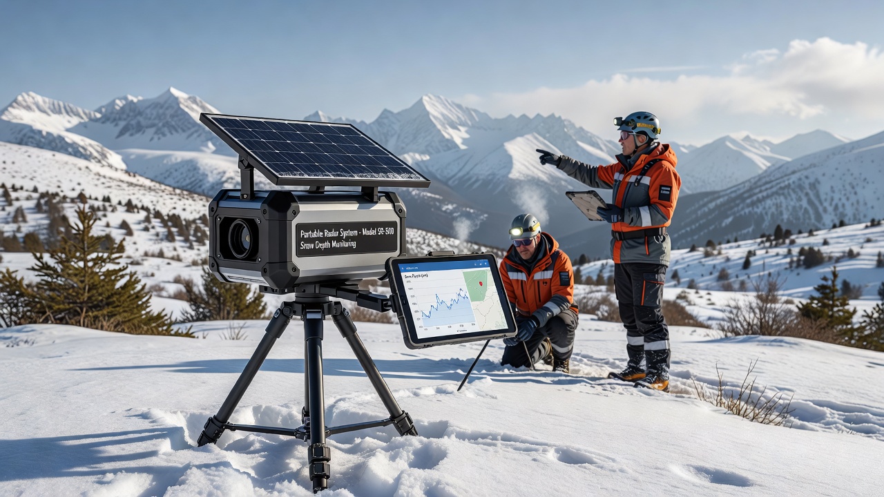
These operations typically span several days and require lightweight equipment that withstands temperature swings and wind exposure, while battery systems incorporate solar charging to extend operational windows. Teams document GPS coordinates for each measurement site so that subsequent visits can replicate transects and track changes through the season.
Integration with Broader Monitoring Networks
Agencies such as the United States Geological Survey incorporate portable radar outputs into regional water-resource models that forecast spring runoff volumes, and similar programs in Canada rely on Environment and Climate Change Canada datasets to refine streamflow predictions for hydroelectric facilities. Radar-derived snow-depth layers feed into avalanche forecasting centers that issue bulletins for backcountry users and transportation corridors.
Researchers have noted improved spatial coverage when portable units supplement satellite-based estimates, particularly in narrow valleys where orbital sensors lose resolution. Combined datasets reveal patterns of snow redistribution by wind that affect both water availability and hazard potential in isolated catchments.
Challenges and Calibration Considerations
Signal attenuation increases in wet snow or when liquid water accumulates at layer interfaces, which requires operators to adjust frequency settings or repeat measurements after temperature drops. Dense forest cover near treeline can introduce noise, prompting teams to select open ridgelines whenever possible for cleaner returns.
Equipment weight and power constraints limit the distance crews can cover in a day, and high winds may force postponement of surveys until conditions stabilize. Ongoing engineering efforts focus on lighter antenna designs and improved signal-processing algorithms that maintain accuracy across a wider range of snow conditions.
Conclusion
Portable radar continues to expand the geographic reach of snow-depth monitoring programs in highland terrain that previously lacked consistent data, and integration with existing agency networks provides more complete pictures of seasonal water storage and hazard dynamics. Continued refinement of field protocols and hardware supports more frequent measurements across remote sites without requiring permanent infrastructure investments.